

On the Water
271 miles of creeks and streams, 60 area lakes, and a river town built around all of it.
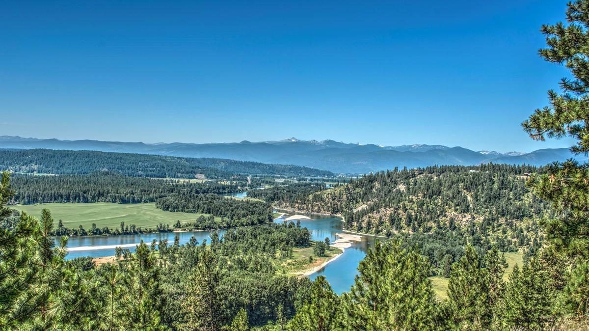
The Kootenai from the bench above town on a summer afternoon. From here it has 47 slow miles to go to Canada. Photo: CENTURY 21 Four Seasons Realty
Ask ten people here where they were last Saturday and half of them will name a lake or a stretch of river. The Kootenai runs right through town, the Moyie comes in a few miles east, and the county has some 60 lakes, from ones with a boat ramp and a campground to high mountain lakes you earn on foot. This chapter covers where to launch, where to fish, and the waterfalls worth the walk.
The Kootenai River is the spine of the valley. It enters Idaho from Montana and runs 19 canyon miles down to Bonners Ferry, then 47 slow, meandering miles north past Copeland and Porthill into Canada and Kootenay Lake, all navigable by motorboat. It holds rainbow, cutthroat, bull and brook trout, and mountain whitefish, alongside long-running efforts to restore native white sturgeon and Kootenai River burbot. Public docks and a boat ramp sit right in town; Twin Rivers Resort at Moyie Springs, about eight miles upstream and owned by the Kootenai Tribe, has a boat launch right at the confluence of the Moyie and Kootenai.
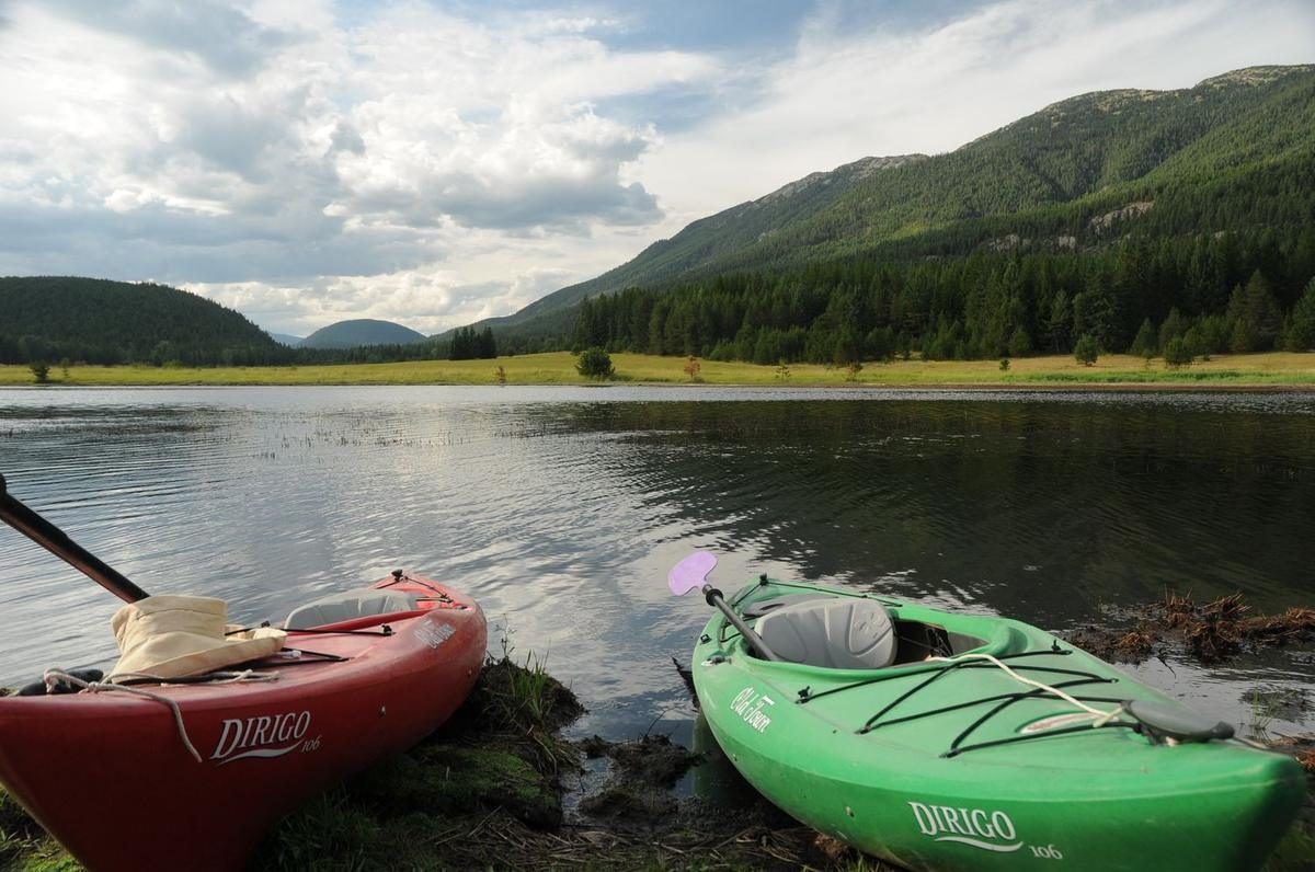
Kayaks on the shore. A lot of the county's lakes are small enough that this is all the boat you need. Photo: CENTURY 21 Four Seasons Realty
The Moyie River joins from the east, passing beneath the 464-foot Moyie River Canyon Bridge, one of the highest in Idaho. High in the Selkirks, the Pack River begins at Harrison Lake, a favorite backpacking destination, then flows south out of the county toward Lake Pend Oreille.
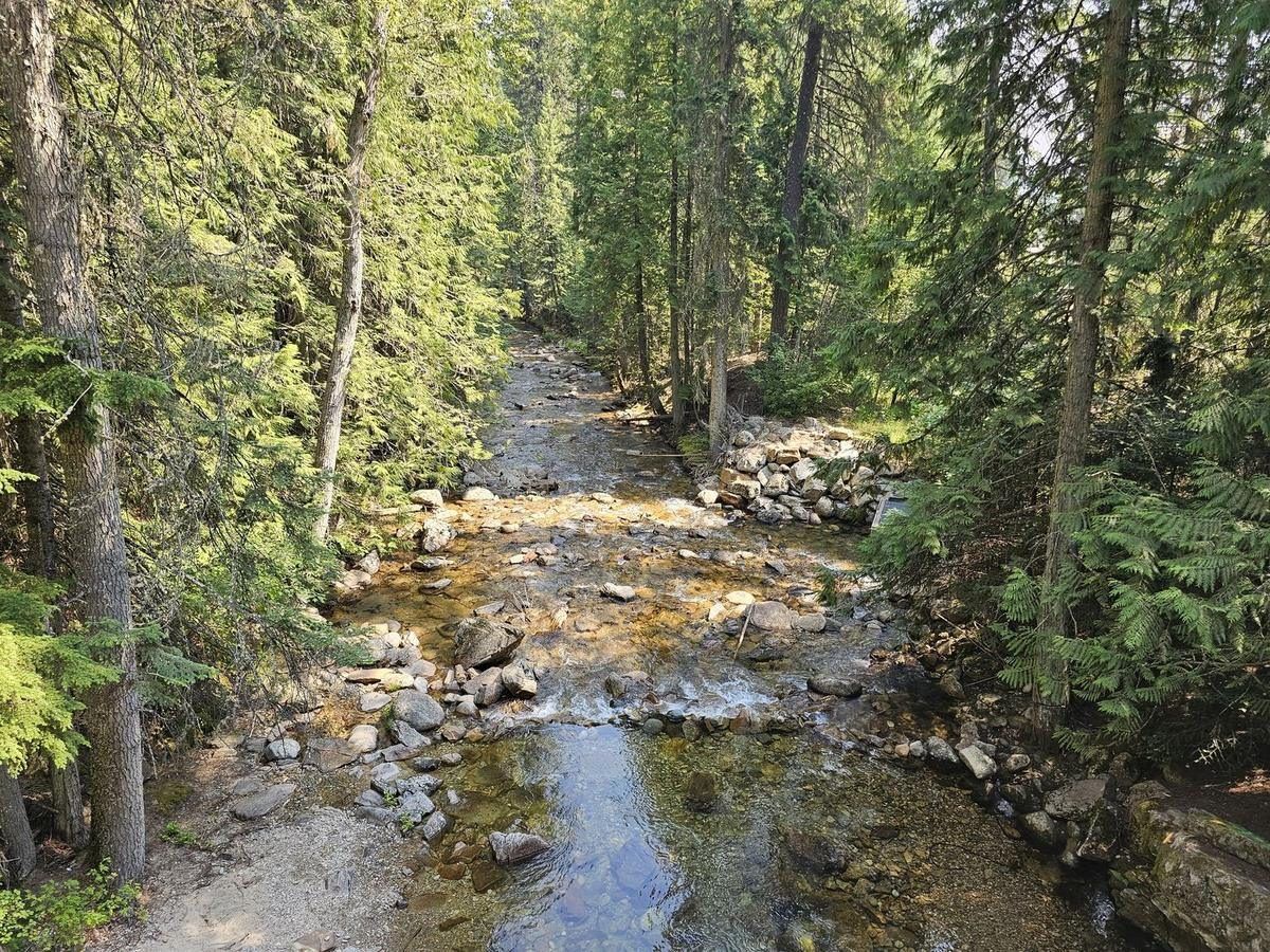
One of the county's 271 miles of creeks, running clear in July. Most of them look like this. Photo: CENTURY 21 Four Seasons Realty
Beyond the rivers, the county holds lakes for every kind of day: Robinson, Smith, and Brush Lake near the campgrounds with docks and boat ramps, and a long list of high-country lakes (Roman Nose, Snow, Myrtle, Hidden, Pyramid, and more) reached only on foot.
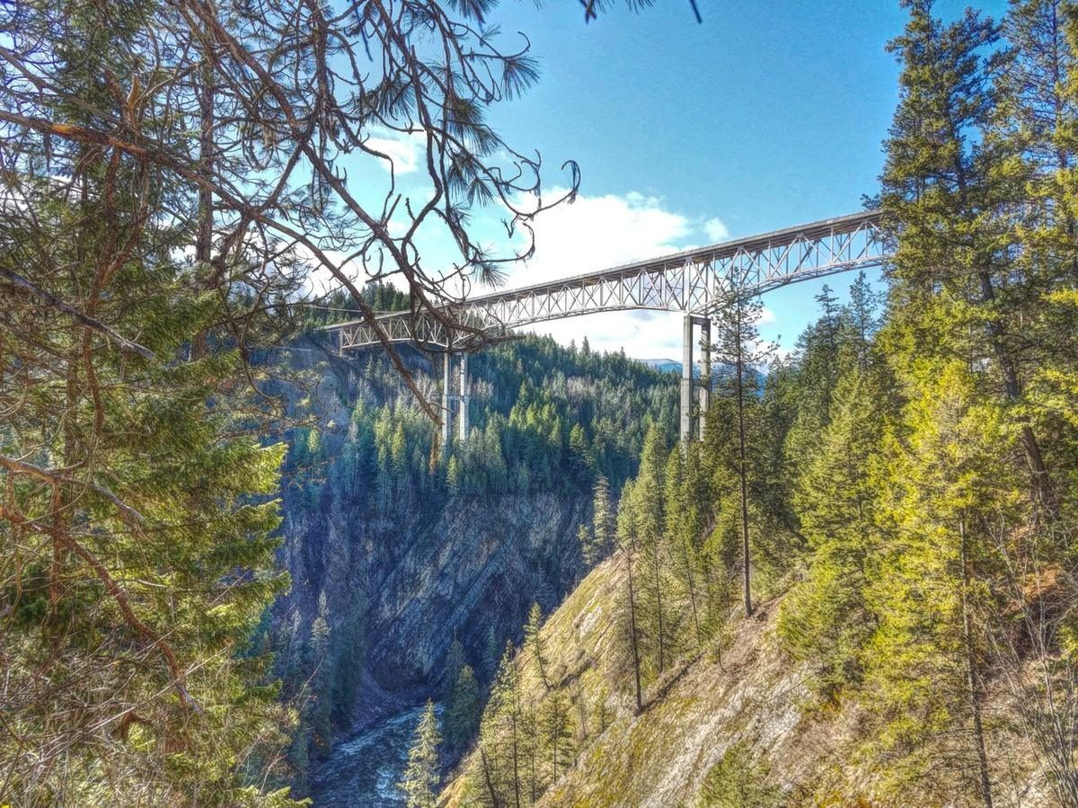
The Moyie River Canyon Bridge, 464 feet above the water.
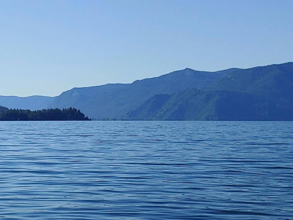
Lake Pend Oreille, less than an hour from Bonners Ferry.
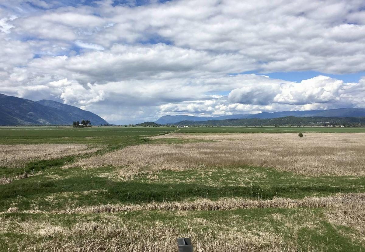
The Kootenai National Wildlife Refuge, where the valley opens up. Photo: CENTURY 21 Four Seasons Realty
Just west of town, the Kootenai National Wildlife Refuge protects 2,774 acres of the Kootenai River valley bottom, established in 1964: a mosaic of wetlands, marsh, ponds, riparian forest, wet meadows, and cultivated fields rising into conifer forest at the foothills of the Selkirks. More than 300 species of wildlife have been recorded here, including over 220 species of birds: bald eagles, great horned owls, red-tailed hawks, and large concentrations of migrating waterfowl, including mallards, northern pintail, and teal. Moose, elk, deer, black bear, river otter, and beaver all make their home on the refuge too.
Visitors can drive, bike, or walk the 4.5-mile Auto Tour Route, hike four trails through the varied habitat, watch wildlife from the gazebo overlooking Cascade Pond, or photograph from the first-come photo blind. Fishing and, in designated areas and seasons, hunting are both permitted, and the Friends of the Kootenai National Wildlife Refuge lead guided bird walks throughout the year.
Twelve miles north, The Nature Conservancy's Ball Creek Farm Preserve adds another 2,300 acres to the valley's protected wetlands: a 500-acre restored wetland and working farm where moose, elk, bald eagles, black bear, beaver, and otter share the ground with cattle. It's open to the public free of charge, sunrise to sunset year-round, for birding, hiking, canoeing and kayaking, fly-fishing, and cross-country skiing.
Ways to Get on the Water
The Kootenai River
Public boat ramps line the river from the Montana line to the Canadian border, so there’s always a put-in nearby for fishing boats, jet boats, and long, lazy floats. From upstream down: the primitive Leonia access just across the Montana line (rafts, drift boats and small jet boats, open June 1 to October 15); the launch at the tribe’s Twin Rivers Resort where the Moyie comes in; the Search and Rescue boat launch and public docks in Bonners Ferry; the county’s Deep Creek launch on Riverside Street toward the wildlife refuge, with docks, restrooms and picnic tables; the Copeland launch on Copeland Road north of the Mount Hall junction, on a calm stretch with restrooms; and the Porthill launch at the border. On the Moyie, five bridges serve as put-ins and take-outs, with Meadow Creek Campground a favorite landing for rafters. Robinson and Smith Lakes have ramps at their campgrounds, and Brush, Bonner, Dawson, Perkins and Solomon Lakes suit small boats carried in.
Moyie River Whitewater
When the snow melts, the Moyie becomes a short, lively rafting run: 11 to 15 miles of continuous Class II–III rapids through cedar forest, guided by ROW Adventures since 1981.
Canoe & Kayak
Quiet water at Ball Creek Farm Preserve and on the slow reaches of the Kootenai is ideal for canoes, kayaks, and paddleboards, with eagles and otters for company.
Lake Days
Robinson, Smith, and Brush Lakes offer swimming, docks, and boat ramps close to camp, and Lake Pend Oreille is under an hour away.
Ice Fishing
Smith and Robinson Lakes freeze most winters, and the Kootenai’s burbot fishery peaks from January through March.
Waterfalls
Snowmelt off the Selkirks and Purcells feeds waterfalls all over the county. Some are a short walk from the car and others take real effort to reach. Most are at their best during spring runoff.
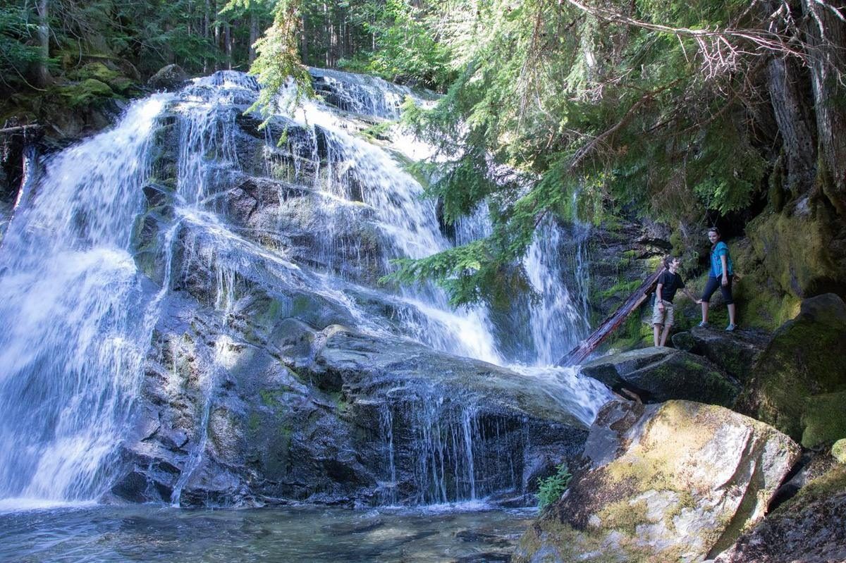
One of the many waterfalls in Boundary County. Photo: CENTURY 21 Four Seasons Realty
Copper Falls
About 160 feet in two tiers, at the end of a short trail off Forest Road 2517 near the Canadian border. An optional loop adds a viewing deck.
Myrtle Creek Falls
About 100 feet. Myrtle Falls Trail #195 leads to an overlook of the falls.
Snow Creek Falls
About 170 feet, spilling through old cedars 1.7 miles up the trail.
Moyie Falls
About 91 feet in the Moyie River canyon, seen from an overlook just off Highway 2.
Smith Falls
About 55 feet on Smith Creek. The falls sit on private land, so please check access before you go.
Jeru Creek Falls
About 130 feet. There is no maintained trail, so reaching it means bushwhacking. Best left to experienced hikers.
Lion’s Head
A natural granite waterslide below a terraced falls on Lion Head Creek near Upper Priest Lake, just over the county line in Bonner County. The road in needs four-wheel drive, the trail crosses the creek, and the water is cold all year.
Licenses & Notes for Anglers
Idaho fishing licenses are sold online at idfg.idaho.gov and through local vendors, or in person at the Idaho Fish and Game Panhandle Region office in Coeur d'Alene. White sturgeon on the Kootenai are catch-and-release only, part of a decades-long recovery effort anchored by the Kootenai Tribe's sturgeon and burbot hatcheries at Bonners Ferry and Twin Rivers, one of the leading wild-broodstock sturgeon programs in the country. Burbot, a native river fish locals call ling, reopened to a limited winter fishery in 2019 after nearly three decades closed, with the best action from January through March. Smith and Robinson Lakes ice over most winters and hold rainbow and cutthroat trout, kokanee and bass.
Sources: Idaho Department of Fish and Game, Kootenai Drainage overview(19 canyon miles from Montana to Bonners Ferry and 47 river miles from Bonners Ferry to Porthill); Boundary County Comprehensive Plan, Recreation(boat launches); Idaho Fish and Game, Leonia access; U.S. Fish and Wildlife Service, Kootenai National Wildlife Refuge; Waterfalls Northwest, Boundary County; Inland NW Routes, Copper Falls; BoiseDev, Lion's Head.