

A Bit of History
A river crossing, a gold rush trail, a railroad, a lot of timber, and one peaceful war. The short version of how Boundary County came to be.
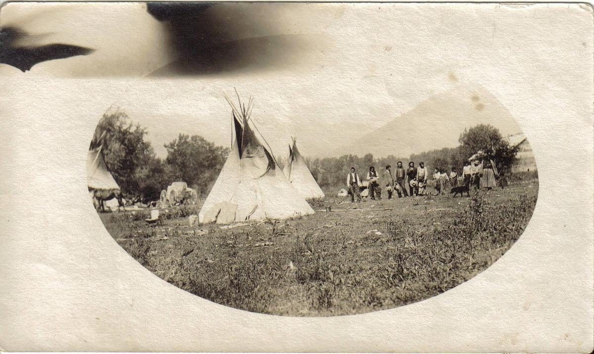
A Kootenai encampment, from the museum collection. Photo: Boundary County Museum
The Kootenai Tribe of Idaho was here first, living along the river and fishing it long before the first settlers arrived. The tribe is still here, based just west of Bonners Ferry, and today it owns the Kootenai River Inn Casino & Spa, the Sturgeon Station travel center on Highway 95, Twin Rivers Resort at the mouth of the Moyie, and two sturgeon and burbot hatcheries at the heart of a decades-long effort to restore the river and its fish.
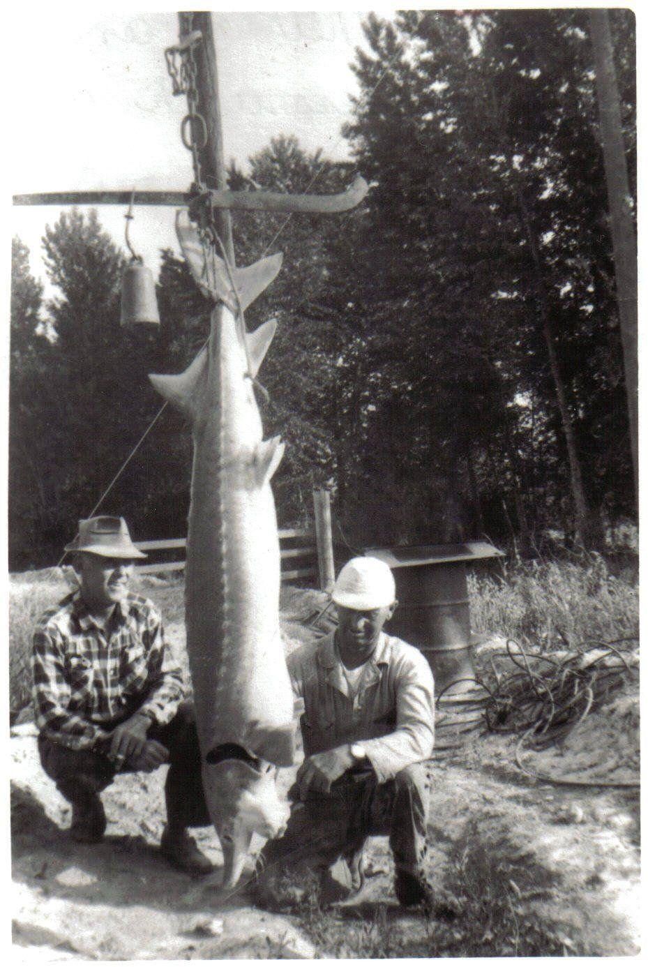
A Kootenai River white sturgeon on the scale. Photo: Boundary County Museum
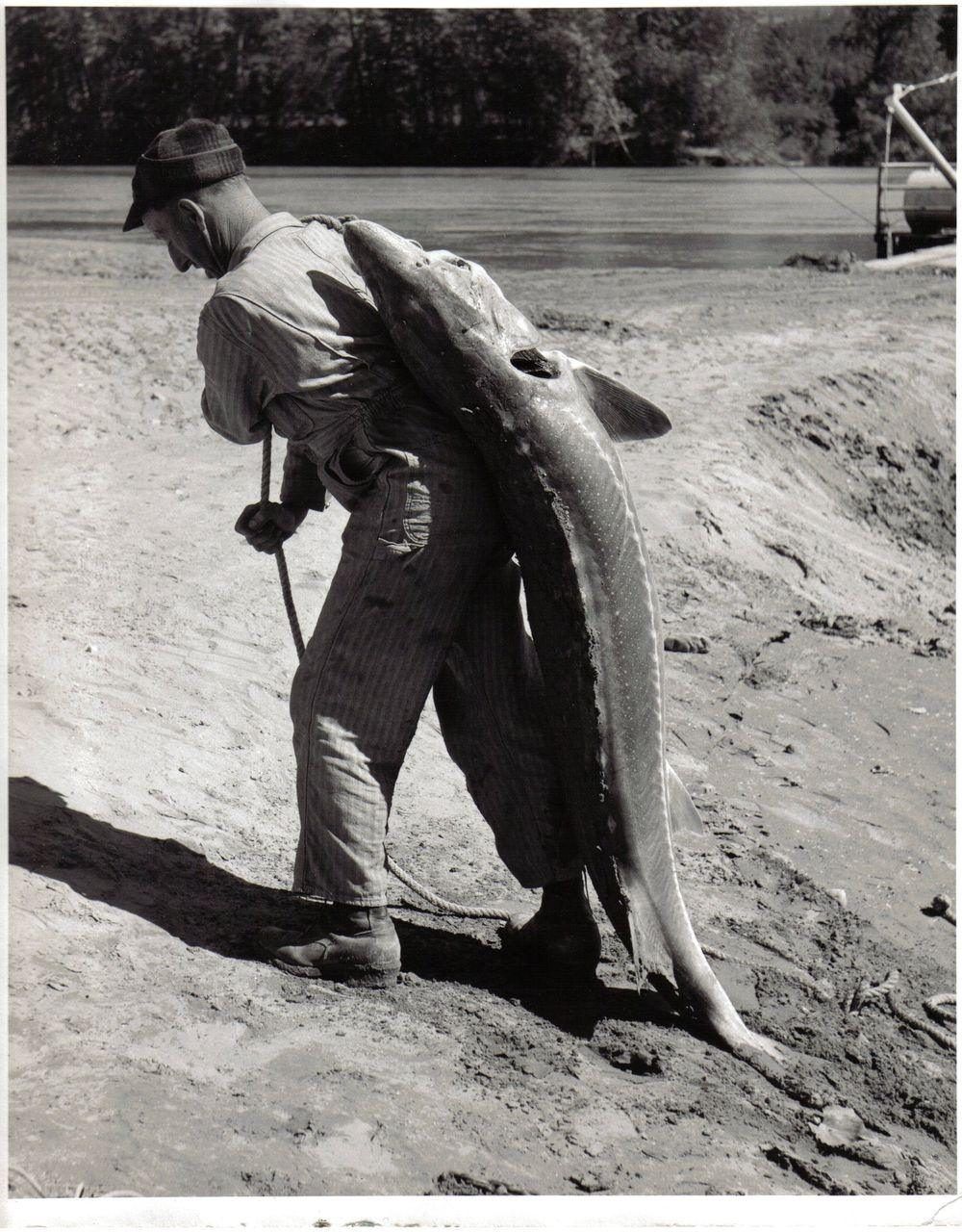
Carrying one home. Fish like these are why the tribe’s hatcheries exist. Photo: Boundary County Museum
The tribe never signed a treaty with the United States, and by 1974 it had almost no land left. On September 20, 1974, its 67 members declared a peaceful war on the United States: no weapons, just roadblocks on the highways into town and a ten-cent toll to pass. The story made national news. Within days the federal government agreed to roads, water, sewer and new homes, and the Bureau of Indian Affairs placed 12.5 acres in trust for the tribe.
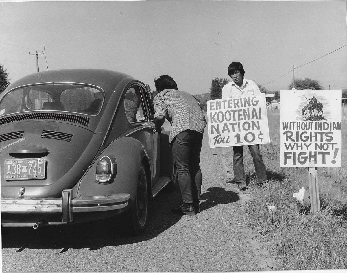
The ten-cent toll on Highway 95, September 1974. Photo: Boundary County Museum
The first outsider to write any of this down was David Thompson, the Canadian mapmaker and fur trader for the North West Company. In the spring of 1808 he came down the Kootenai, which he called McGillivray’s River, and on May 8 his hungry party reached a bend near today’s Bonners Ferry, where ten Kootenai lodges shared what food they had. He went on to Kootenay Lake and Fort Steele, and the route he found north is the one Highway 95 follows today. He came back in the fall of 1809 and set up a small North West Company post where Deep Creek meets the Kootenai, the first trading post in what is now Boundary County, the same year he built Kullyspell House on Lake Pend Oreille. Thompson left for Montreal in 1810 and never returned, but his maps were the first to show this valley. A state historical marker on Highway 95 near Deep Creek Loop tells the story.
The 1864 gold strike at Wild Horse Creek in British Columbia sent prospectors north along the Wild Horse Trail, and Edwin Bonner started a ferry across the Kootenai where they had to cross. The ferry gave the town its name. The Great Northern Railway arrived in 1892, the city marks 1899 as its founding year, and ferries at Copeland and Porthill carried people across the river for decades before the bridges came. Timber built the economy: sawmills went up along the river, and for years logs were floated down the Kootenai and the Moyie to the mills in spring drives.
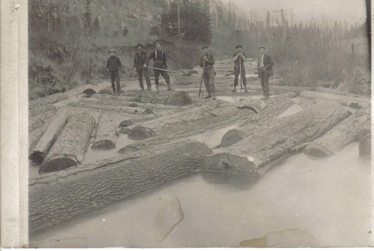
A spring log drive on the Kootenai. Photo: Boundary County Museum
Farming followed once the valley was drained and diked in the 1920s, and the bottomland still grows grain, hay and hops. The river flooded town regularly until Libby Dam was finished upstream in 1975. The Sundance Fire of 1967 burned across the Selkirks, the Moyie River Canyon Bridge went up between 1962 and 1965, and the old mining camp of Boulder City is one of several ghost towns left from the silver and lead days.
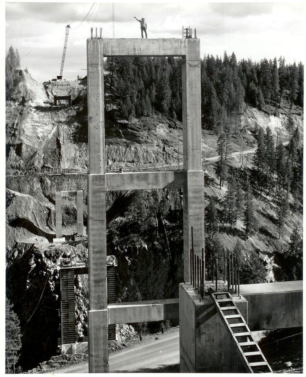
The Moyie River Canyon Bridge going up. Photo: Boundary County Museum
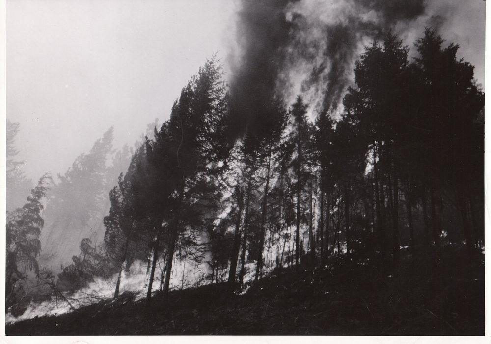
Fire in the Selkirks. The Sundance Fire of 1967 burned about 56,000 acres. Photo: Boundary County Museum
And then there is Prohibition. With the border a few miles away, Boundary County had its share of stills in the woods and quiet trips north, and the stories still get told. The Boundary County Museum on Main Street keeps the photographs and the rest of the details.
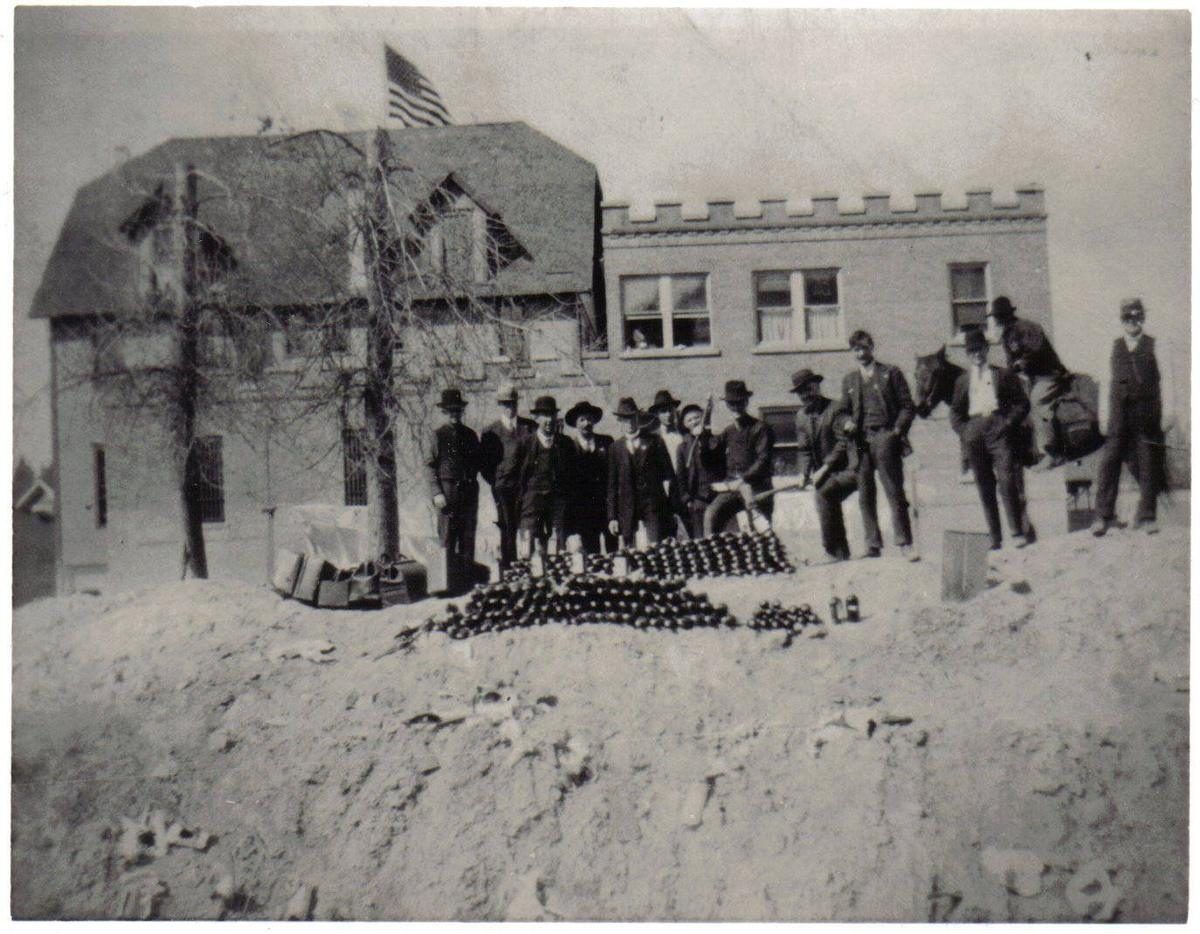
Confiscated bottles lined up for the camera during Prohibition. Photo: Boundary County Museum
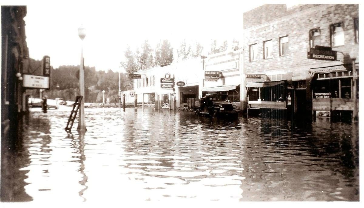
Bonners Ferry, in an earlier flood year. Photo: Boundary County Museum